


Sainte Anne de la Condamine 2

thomas1986
User
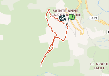

Length
3.7 km

Max alt
2095 m

Uphill gradient
234 m
Km-Effort
6.8 km

Min alt
1860 m

Downhill gradient
231 m
Boucle
Yes
Creation date :
2024-09-05 13:56:59.839
Updated on :
2024-09-05 16:04:24.504
1h21
Difficulty : Medium

FREE GPS app for hiking
 SityTrail
IGN / Geographical institutes
SityTrail Plus
The world is yours!
About
Trail Walking of 3.7 km to be discovered at Provence-Alpes-Côte d'Azur, Alpes-de-Haute-Provence, La Condamine-Châtelard. This trail is proposed by thomas1986.
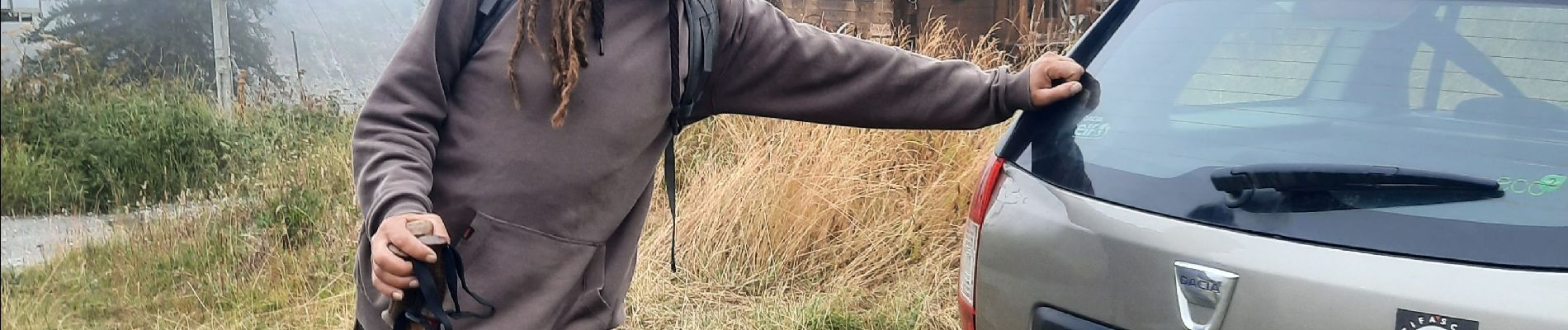
Photos


23 photos in total. Please click on a photo to see them all in the gallery.
Positioning
Country:
France
Region :
Provence-Alpes-Côte d'Azur
Department/Province :
Alpes-de-Haute-Provence
Municipality :
La Condamine-Châtelard
Location:
Unknown
Start:(Dec)
Start:(UTM)
318692 ; 4926115 (32T) N.
Comments